WebGIS
This page contains a collection of WebGIS that I have ever made
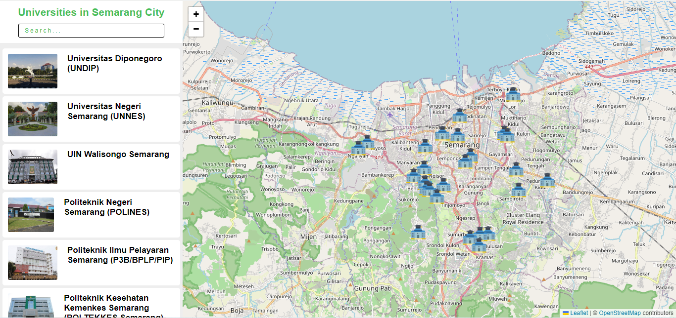
WebGIS Universities in Semarang City
WebGIS Universities in Semarang City displays a list of universities in Semarang City. It contains the location, address, website and photos of each university.
View WebGIS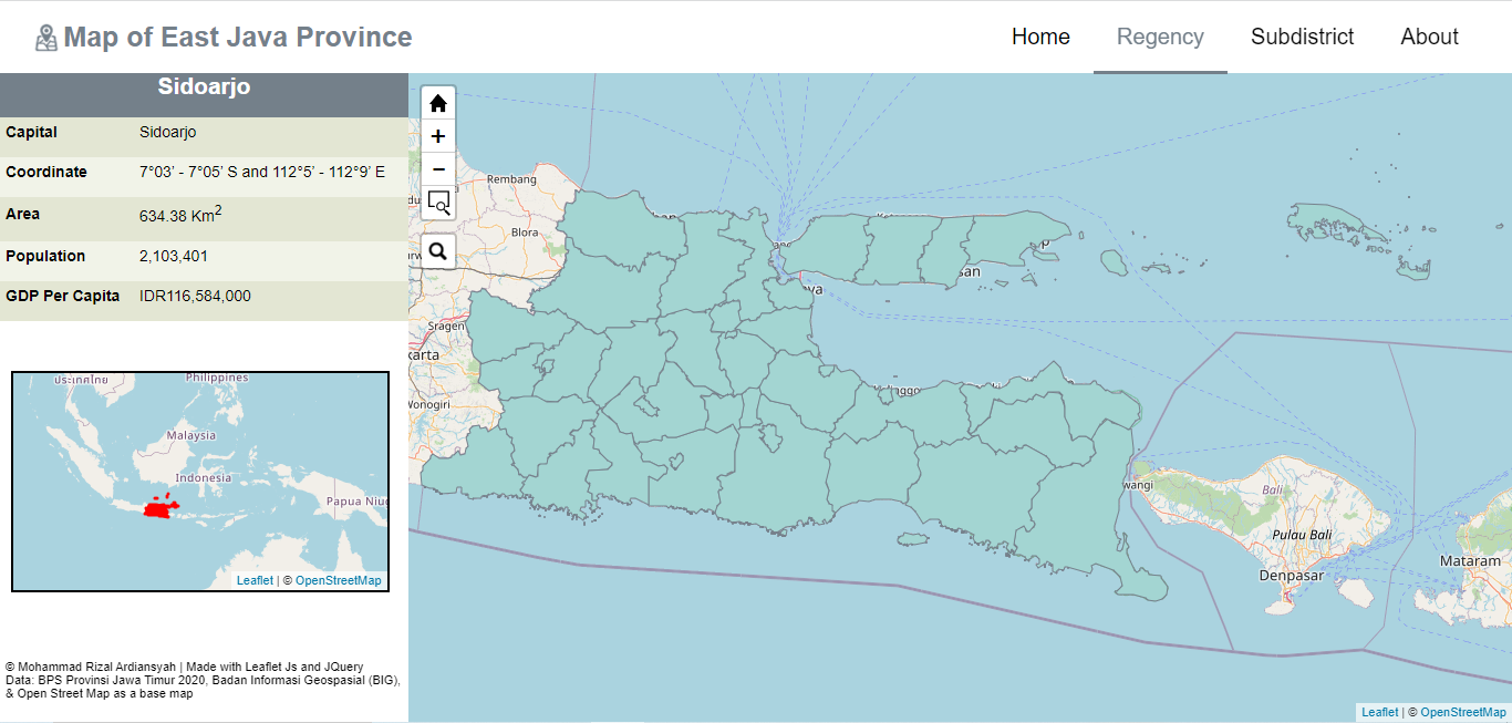
East Java Maps
The East Java Map is a WebGIS that displays administrative data from the East Java province area. The data contained in it are the capital, coordinates, area, population, and GDP per capita of each district, as well as data at the sub-district level.
View WebGIS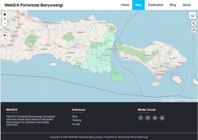
WebGIS Pariwisata Banyuwangi
WebGIS Pariwisata Banyuwangi provides information related to tourist objects in Banyuwangi Regency and its supporting infrastructure. There are various features in it, including Zoom (Zoom In, Zoom Out, Zoom to Area, and Zoom to Start Position), My Location, Layer Switch Control, Base Map Switch Control, Search Location, and Route. Created using the Javascript programming language and the LeafletJS library.
View WebGIS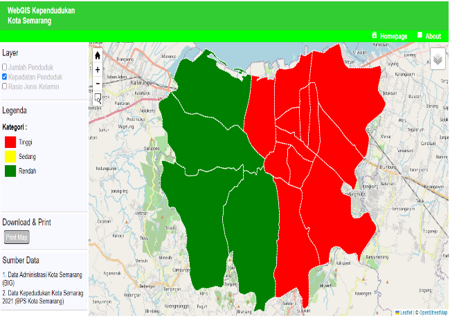
WebGIS Kependudukan Kota Semarang
WebGIS is a visualization of Semarang city population data. Created using the Javascript programming language and the LeafletJS library.
View WebGIS